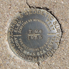
T 94
Spatial/elevation data
| Coordinates | N 32.306883° W 111.218433° |
| Elevation | 2292.1 ft. |
| Location | Arizona
Pima County Avra Quad |
Mark description
| Type | Bench Mark Disk |
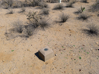
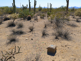
| Setting | Square Concrete Monument |
| Monumented | 1935 by NGS |
| Description (NGS) | NGS Datasheet |
NGS recovery information
Descriptive text
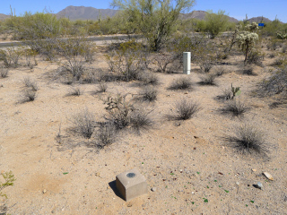
Mark recovered in good condition. Witness post and thin posts mentioned in 2001 recovery were not found. Handheld GPS coordinates for the mark are 32 18 24.8(N) 111 13 06.4(W).Narrative and photographs
T 94 was another find on our day of seeking out the marks along the Encinas Trail in Saguaro National Park. After hiking in from the southeast end of the trail and finding two benchmarks there, we hiked out, drove to the northwest end, and found this benchmark before hiking in along the trail for one more search. T 94 is in very good condition, set in a square concrete monument near the intersection of the trail and N. Sandario Road. Although witness posts seem to hang around a long time in the desert, in this case, the witness post mentioned in the 2001 recovery is no longer in place.


