TUCSON
Spatial/elevation data
| Coordinates | N 32.222841° W 110.975189° |
| Elevation | 2364.08 ft. |
| Location | Arizona
Pima County Tucson Quad |
Mark description
| Type | Bench Mark Disk |
| Setting | Concrete Post |
| Monumented | 1933 by NGS |
| Description (NGS) | NGS Datasheet |
NGS recovery information
Descriptive text
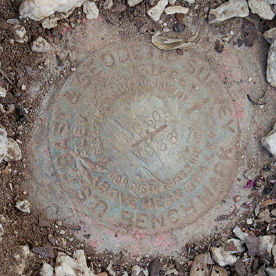
Recovered in good condition.Narrative and photographs
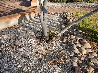
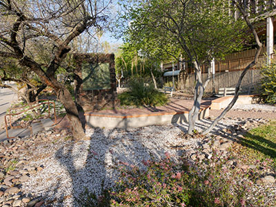
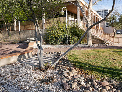
The second benchmark find on tonight’s post-supper adventure was about a tenth of a mile west of the first mark. We were interested in that mark because of its designation, TUCSON, but I was already aware that it might be a challenging find because a geocacher had mentioned that it was hidden beneath some landscaping stones. It was indeed covered over when we found it, but there was a depression in the stones that guided me to check that particular spot. It was very fortunate that the depression was there, otherwise the mark would have been nearly impossible to find; it was buried about 3 inches down. The disk is in good condition overall, although the designation is difficult to read.


