C 308
Spatial/elevation data
| Coordinates | N 31.931416° W 112.967777° |
| Elevation | 1208.1 ft. |
| Location | Arizona
Pima County West of Lukeville Quad |
Mark description
| Type | Bench Mark Disk |
| Setting | Round Concrete Monument |
| Monumented | 1952 by NGS |
| Description (NGS) | NGS Datasheet |
NGS recovery information
Descriptive text
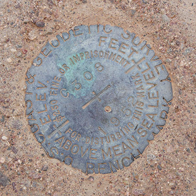
Recovered in good condition. The witness post is no longer in place, but its concrete base is still evident.Narrative and photographs
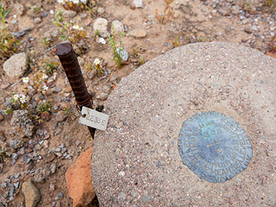
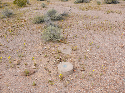
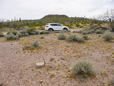
Continuing on Puerto Blanco Drive, we found C 308 easily. Like the others, it’s close to the road and set in a monument that projects a few inches. But we saw something here that we’ve never seen before: an iron bar set into the ground next to the monument with a small, stamped metal tag affixed to it with a piece of wire. The tag is stamped “2E3SE”. I have no idea what this is—something relating to surveying (East and Southeast, maybe?) or a designation for some other kind of work, perhaps an environmental study? Rich and I are both stumped. There’s no mention of it in the benchmark description.
The disk and monument are in good condition. The witness post is no longer in place, but its concrete base is still evident.


