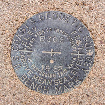
E 308
Spatial/elevation data
| Coordinates | N 31.889777° W 112.833333° |
| Elevation | 1435.7 ft. |
| Location | Arizona
Pima County Lukeville Quad |
Mark description
| Type | Bench Mark Disk |
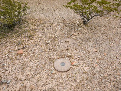
| Setting | Round Concrete Monument |
| Monumented | 1952 by NGS |
| Description (NGS) | NGS Datasheet |
NGS recovery information
Descriptive text
Recovered in good condition. The witness post is no longer present.Narrative and photographs
After our morning adventures on the east side of Route 85, when we found our first US-Mexican boundary monument and hiked to the triangulation station SHACK, we decided to follow up with more survey mark hunting on the west side, along Puerto Blanco Drive. I was hoping to complete the series of benchmarks all along Puerto Blanco Drive that we began two years ago. That was the day of Rich’s scorpion sting, and I hadn’t had much time to look up the data; we were basically just hunting for a few of the marks based on estimates from the topo map and whatever monuments/witness posts we could spot from the road.
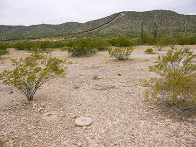
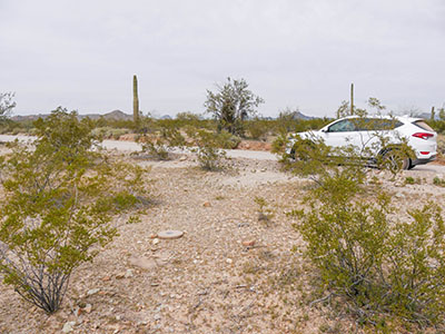
This time, we were hoping to find the others. We did quite well, finding all but two. E 308 was our first along this road for today, and it was an easy find. The monument was easy to spot, and the disk is in good condition. The witness post is gone, but its concrete base is still evident at the site.


