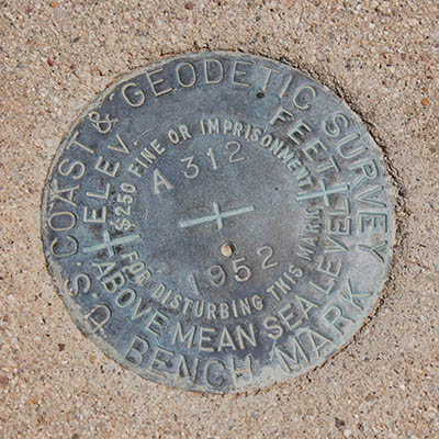
A 312
Spatial/elevation data
| Coordinates | N 31.98425° W 112.773638° |
| Elevation | 1788.6 ft. |
| Location | Arizona
Pima County Lukeville Quad |
Mark description
| Type | Bench Mark Disk |
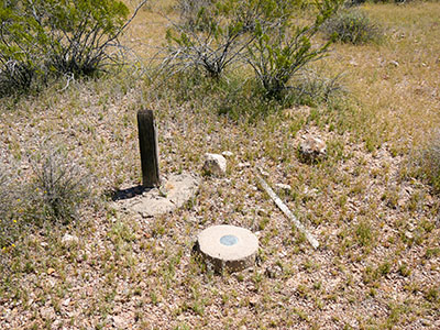
| Setting | Round Concrete Monument |
| Monumented | 1952 by NGS |
| Description (NGS) | NGS Datasheet |
NGS recovery information
Descriptive text
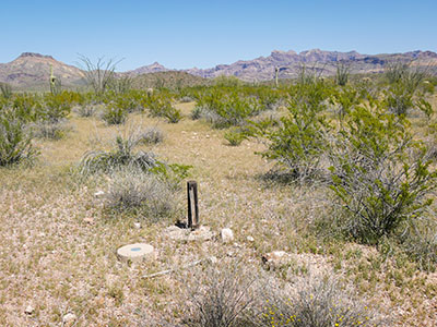
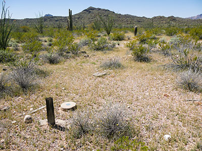
Recovered in good condition. The old Ajo-Sonoyta Road is now a hiking trail accessible from Alamo Canyon Road to the north and Ajo Mountain Drive to the south. The witness post (without sign) is still present.Narrative and photographs
We had to laugh when we reached the parking spot for the old county road and looked at the mountain on which the triangulation station ORGAN PIPE is set. We’d had some thoughts about possibly searching for today, but in seeing the mountain towering 500 feet above us, and still a long distance away too, we realized there was no way we could possibly do it today. If we want to do it in the future, we’ll have to set aside a full day and prepare better as well.
But we still had two more marks we wanted to look for along the country road. The first was A 312. It was an easy find and is in excellent condition. The witness post is still present, although there is no sign. The mountains provided a beautiful backdrop to the saguaro forests here. We didn’t see too many organ pipes in this particular spot, although there were a few.


