CENTRAL PARK BOLT
Spatial/elevation data
| Coordinates | N 40.76939° W 73.97333° |
| Elevation | Unknown |
| Location | New York
New York County Central Park Quad |
Mark description
| Type | Iron Bolt |
| Setting | Bedrock |
| Monumented | Unknown by Unknown Agency |
Narrative and photographs
The text of this recovery narrative is based on my work for the following article:
Jennifer Galas and Donna Witek, The Information Literacy of Survey Mark Hunting: A Dialogue, In the Library With the Lead Pipe, November 9, 2016.
While browsing online digital archives, I happened to find a map of the Commissioners’ Plan of 1811, which laid out the original plan for Manhattan’s now-familiar grid of streets and avenues. After developing the plan, New York surveyor John Randel, Jr. and his men spent the better part of a decade establishing survey monuments at each planned intersection. Over 1,600 monuments were set, with the intention of being removed (or covered over) when the streets were built. (See also: http://manhattantopographical.com/Maphtml/ACC%20Maps.htm.)
So then the question became, might some of these monuments remain to this day?
The scope of my physical investigation was limited to those areas that have not been developed in the intervening years. The map of the Commissioners’ Plan of 1811 indicated that the land now encompassed by Central Park was, at the time of the survey, intended to be separated into orderly city blocks just like the rest of the city.25 This made Central Park a likely candidate for finding an original survey bolt, should any still exist.
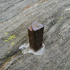
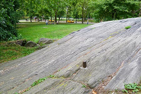
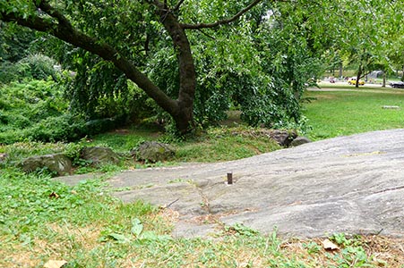
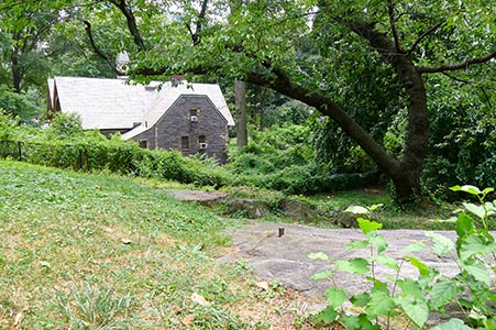
Using Google Maps, my husband and I identified a few promising locations in Central Park by working out where the streets and avenues would have intersected had the grid been imposed as planned, and then narrowing down our list to the areas that had exposed bedrock. Then we took a trip to Manhattan to test our idea. The first location didn’t look as we expected it to and we found nothing. But at the second location, protruding about four inches from the bedrock outcrop was a weathered iron bolt!
How could we be sure we had found one of the original bolts? We weren’t 100% certain at the time, but the one inch square bolt with a cross cut in the top matched the description of the bolts set by the Randel survey, and its coordinates matched the expected location of the intersection. In the years since a few of us independently worked out its location, the bolt has seen a lot of interest and discussion in online articles and a few books sparked by interest in the grid. Anyone searching now for this bolt will have an easy time of it.
This particular mark was one of my favorite finds because it encompasses the importance of infrastructure, the decisions throughout history that formed the landscape we see today, and the use of these fun historical “puzzles” to help develop our research skills and judgment over time!


