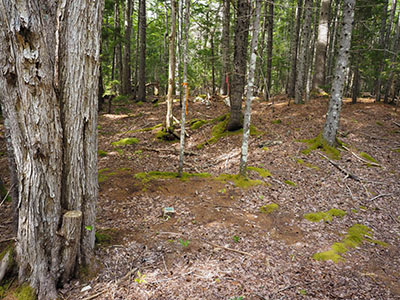
Boundary Monument (Unstamped, #2)
Spatial/elevation data
| Coordinates | N 44.311268° W 68.242992° |
| Elevation | Unknown |
| Location | Maine
Hancock County Seal Harbor Quad |
Mark description
| Type | Boundary Monument |
| Setting | Granite Post |
| Monumented | Unknown by Unknown Agency |
Narrative and photographs
This boundary monument was a surprise find during our walk today on the old Wildwood Farm Road. We began at Wildwood Stables and hiked the old road from Stable Lane southwest, passing beneath the Park Loop Road, to its end at Jordan Pond Road. Near a washout along a creek that crosses the road, I happened to spot this granite boundary marker with an unstamped, unmarked disk set into it! Pink and orange flagging tape indicates the boundary line as it passes through the woods, but we couldn’t find any other disks or granite posts even though we followed the boundary line for a distance in both directions.


