TAMPA
Spatial/elevation data
| Coordinates | N 27.947917° W 82.457111° |
| Elevation | 18.68 ft. |
| Location | Florida
Hillsborough County Tampa Quad |
Mark description
| Type | Bench Mark Disk |
| Setting | Stone Foundation |
| Monumented | 1932 by NGS |
| Description (NGS) | NGS Datasheet |
Narrative and photographs
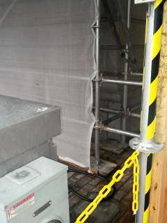
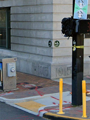
This is a guest recovery from Dave, Zhanna’s dad. While walking around Tampa before his Western Caribbean cruise, Dave looked for this benchmark disk set into the old city hall building. He has confirmed that the disk is in place and in good condition, but because the building is currently undergoing renovations and is surrounded by scaffolding, he wasn’t able to get a close-up photo of the disk. It is on the corner shown, just to the left of the inscription 1915, of which a tiny corner can be seen.

