MON 100
Spatial/elevation data
| Coordinates | N 24.61985° W 81.53181° |
| Elevation | 13.84 ft. |
| Location | Florida
Monroe County Saddlebunch Keys Quad |
Mark description
| Type | Survey Disk |
| Setting | Bridge Abutment |
| Monumented | Unknown by Florida DOT |
| Description (NGS) | NGS Datasheet |
Narrative and photographs
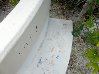
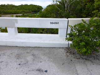
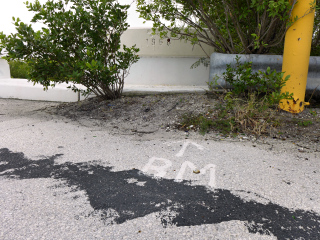
We hoped for better luck finding MON 100 than we had with MON 4 nearby. This abandoned section of the old (original) Overseas Highway is now used as a recreational path. As we walked east along it toward our goal, we passed walkers, joggers and cyclists. We did not, however, encounter any jumpers at the “Sugarloaf bridge jump”—apparently a bridge from which locals jump down into the deep channel below, and then pull themselves back up using a knotted rope. As you may have guessed, this is the same bridge into which the mark is set! Pretty cool; I just wish we’d witnessed some jumping.
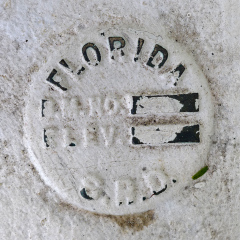
The disk is in good condition, although it has been painted over and if it was ever stamped with the 100 MON designation, it’s impossible to tell now.


