M 69
Spatial/elevation data
| Coordinates | N 24.839623° W 80.77992° |
| Elevation | 15.49 ft. |
| Location | Florida
Monroe County Long Key Quad |
Mark description
| Type | Bench Mark Disk |
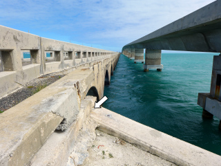
| Setting | Concrete bridge headwall |
| Monumented | 1934 by NGS |
| Description (NGS) | NGS Datasheet |
Narrative and photographs
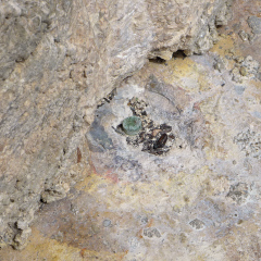
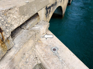
We found the remains of two disks in the same location today: M 69 and M 69 RESET. I spotted the stem of what we later determined to be M 69 while I was photographing 872 3872 G TIDAL just a few inches away. Meanwhile, Rich called up to me “Hey, here’s the stem of a disk!” Momentarily I was confused because he was nowhere near the disk stem that I was looking at. Soon we realized that two disks on this wingwall were missing. Later we figured out that the stem he had found belonged to M 69 RESET.
Obviously we have to say that the disks were “Not Found,” although it is more than likely that they have been destroyed. It’s still remotely possible that we found the remains of other disks. Still the measurements and descriptions check out to match M 69 and M 69 RESET.


