872 4093 TIDAL 1
Spatial/elevation data
| Coordinates | N 24.68242° W 81.22835° |
| Elevation | 15.26 ft. |
| Location | Florida
Monroe County Sevenmile Bridge Quad |
Mark description
| Type | Bench Mark Disk |
| Setting | Bridge Wingwall |
| Monumented | Unknown by NGS |
| Description (NGS) | NGS Datasheet |
NGS recovery information
Descriptive text
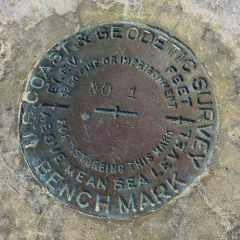
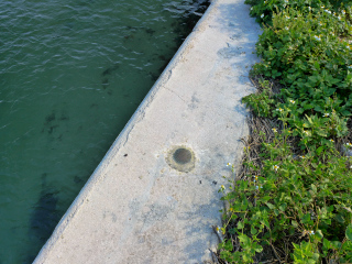
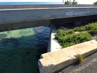
Recovered in good condition on the south wingwall at the west end of the old Seven Mile Bridge. The current Seven Mile Bridge is directly south of the old bridge. The wingwall is located between the old and new bridges and is still accessible.Narrative and photographs
This tidal disk was our fourth find at the west end of the old Seven Mile Bridge. Talk about a benchmark bonanza! Like the others, this disk is in good condition. It’s easily accessible; simply walk east along the grassy patch between the two bridges toward the wingwall.


