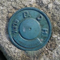
96-57-2008-1
Spatial/elevation data
| Coordinates | N 41.64894° W 75.59981° |
| Elevation | Unknown |
| Location | Pennsylvania
Susquehanna County Clifford Quad |
Mark description
| Type | Survey Mark |
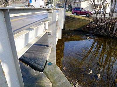
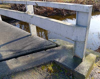
| Setting | Bridge Wingwall |
| Monumented | Unknown by PA Dept. of Highways |
| Description (PA Dept. of Highways) | Unavailable. |
Narrative and photographs
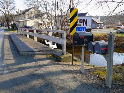
There isn’t much better (in December, anyway) than a sunny, 64° day. We simply had to take advantage of our long morning by scouting out some probable benchmark locations near Clifford. While on our way to look for the USGS bench mark disk TT, I checked the wingwalls of a bridge we crossed over and was pleased to find this old PDH disk. Like many of these disks, it has been stamped more recently with a designation, but we’re unable to find any information about the mark. It is in good condition, although with so many of these older-style bridges in the area being replaced, it may not survive here for long.


