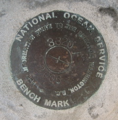
841 3320 TIDAL F
Spatial/elevation data
| Coordinates | N 44.3913° W 68.204916° |
| Elevation | Unknown |
| Location | Maine
Hancock County Bar Harbor Quad |
Mark description
| Type | Tidal Bench Mark Disk |
| Setting | Concrete Berm |
| Monumented | 2006 by National Ocean Service |
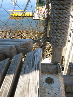
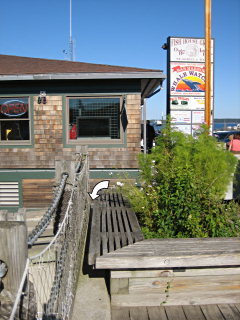
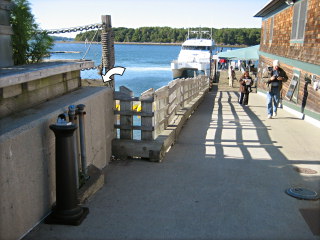
| Description (National Ocean Service) | The bench mark is a disk set in the top of a concrete seawall at the intersection of Main Street and West Street on the west side of the Fish House Grill located 13.75 m (45.1 ft) north of the center line of West Street, 4.42 m (14.5 ft) west of the SW corner of the Fish House Grill, 1.14 m (3.74 ft) above the ground set flush in a concrete sea wall. |
Narrative and photographs
After our touristy-but-fun sailing on the Margaret Todd, Rich and I wandered around the pier; I had a sneaking suspicion that some of the other new NOS marks would be nearby, perhaps on the other side of the which is an area we had never checked before. We were able to find two. This mark was the second one, set into the corner of the seawall along West Street right at the intersection of the pier that is used for whale watch launches and cruise ship passenger arrivals. The disk is directly behind a structure resembling wooden benches (although there is no way to sit on it) and is easy to spot, if not so easy to photograph. Being so new, the disk is in excellent condition.


