841 3320 TIDAL 13
Spatial/elevation data
| Coordinates | N 44.3913° W 68.204033° |
| Elevation | 6.487 m. |
| Location | Maine
Hancock County Bar Harbor Quad |
Mark description
| Type | Tidal Bench Mark Disk |
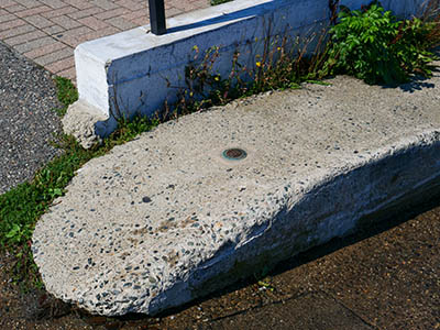
| Setting | Concrete Boat Ramp |
| Monumented | 1975 by National Ocean Service |
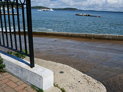
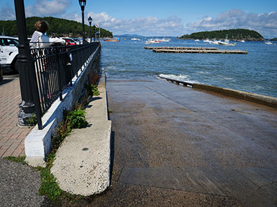
| Description (National Ocean Service) | The primary bench mark is a disk set in the concrete boat ramp NNE of the foot of Main Street at the SE corner of the Municipal Pier, 16.76 m (55.0 ft) ESE of the centerline of the pier parking lot, 3.11 m (10.2 ft) WNW of the centerline of the boat ramp, 2.16 m (7.1 ft) SE of a light pole at the foot of Main Street, and 0.09 m (0.3 ft) above the parking lot. |
Narrative and photographs
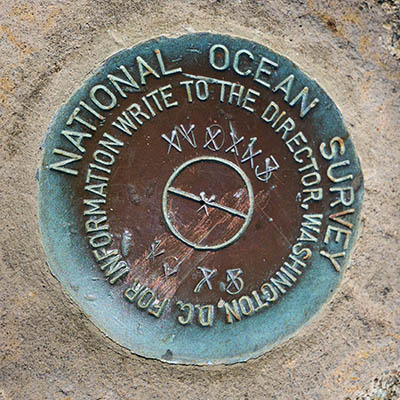
While on a morning walk around town, we strolled down to the waterfront and checked out a few of the benchmarks there. This mark, the one set at the top of the boat ramp, for some reason has its designation and date Xed out! I’ve never seen that before, and it certainly wasn’t the case the last time we checked on this mark (probably two or three years ago). It seems strange that anyone would cross out the identifying information, because even if the survey data was inaccurate the mark could always be resurveyed. There are no updates on NOAA’s Tides and Currents datasheet for this mark.


