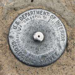
6288.176 FT. RESET
Spatial/elevation data
| Coordinates | N 44.270483° W 71.30325° (estimate) |
| Elevation | 6288.176 ft. |
| Location | New Hampshire
Coos County Bartlett Quad |
Mark description
| Type | Bench Mark Disk |
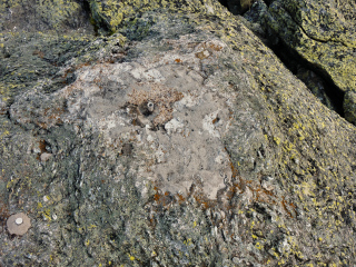
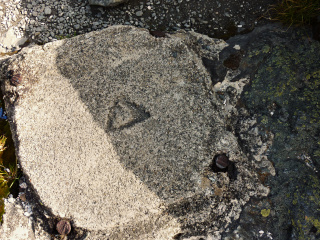
| Setting | Boulder |
| Monumented | 1980 by USGS |
| Description (USGS) | Unavailable. |
Narrative and photographs
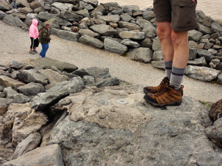
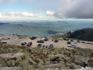
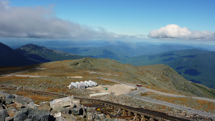
This recovery is a guest contribution from dad. While on his way to visit us in Maine, he made a side trip to Mount Washington, mainly to ride the cog railway. While at the summit, he took some time to look around for benchmarks. Awesome!
He found this disk near the summit sign; we later determined that it is none of the marks currently listed in the NGS database, but it is a reset of PF0951. It is obviously weathered, and scratched due to conditions and the popularity of the spot, but it’s stable. Dad says it’s more than worth the trip—but next year he wants to hike up the mountain instead!
