58 CH
Spatial/elevation data
| Coordinates | N 41.304853° W 76.2186° |
| Elevation | 1273.442 ft. |
| Location | Pennsylvania
Luzerne County Sweet Valley Quad |
Mark description
| Type | Bench Mark Disk |
| Setting | Rock Outcrop |
| Monumented | 1942 by USGS |
| Description (USGS) | Kyttle, 1.5 mi W. of; 4.7 mi E. of Red Rock; 0.15 mi E. of junction of rd. S.; 650 ft W. of red barn; 35 ft S. of rd.; in large flat rock; standard tablet stamped “58 CH 1942” Reference mark; 740 ft W. of tablet; 15 ft S. and 30 ft W. from rd. junction; on apex of triangular stone headwall of culvert; chiseled square |
Narrative and photographs
Today began cool and cloudy, with a constant threat of rain. (It ended that way, too.) Of course, it’s the first Saturday in May, which is Death Hike day according to the revised algorithm. On the way to the hike at Ricketts Glen, I had picked out a few marks to look for.
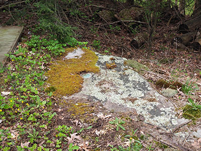
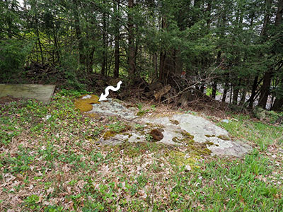
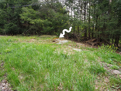
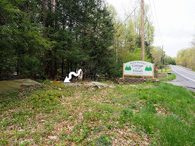
58 CH was the first on my route, and it was the only mark I found today. A “large flat rock” is visible on Google Street View, and I suspected this was the rock that held the mark. I was happy to see that this guess was correct.
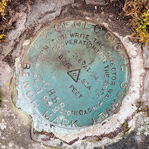
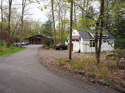
I parked at the nearby Cottage in the Woods Bed & Breakfast, which was calm and quiet this early morning. Then walked up to the rock, where I immediately spotted the blue disk poking out halfway from underneath a mat of yellow moss.
The disk is in good condition and is in an easily accessible spot. The stamped designation is actually CH 58 rather than 58 CH.
I did not search for the reference mark today. There is a drainage ditch that flows beneath a side road at approximately the distance given, but I didn’t see a stone culvert anywhere in the area.
