55X
Spatial/elevation data
| Coordinates | N 36.113216° W 115.172662° |
| Elevation | Unknown |
| Location | Nevada
Clark County Las Vegas SW Quad |
Mark description
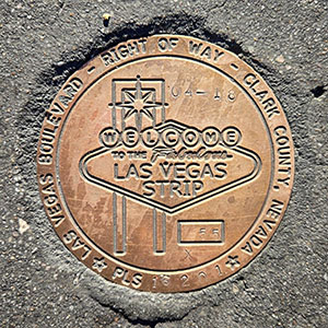
| Type | Right of Way Disk |
| Setting | Concrete Sidewalk |
| Monumented | 2018 by Clark County Surveyor's Office |
Narrative and photographs
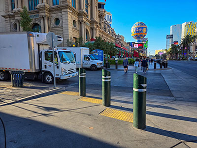
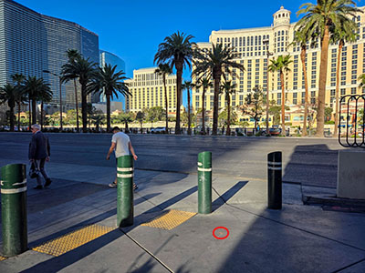
Unfortunately, I only had time for one more survey mark recovery before breakfast this morning. 55X was the last one I documented today. It is set in the sidewalk on the east side of Las Vegas Boulevard, just north of Audrie Street, which runs between Mon Ami Gabi and a CVS pharmacy. It is also directly east of Bellagio on the opposite side of the Boulevard.


