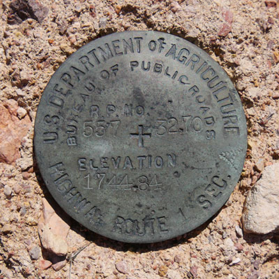
557 32.70
Spatial/elevation data
| Coordinates | N 32.028861° W 112.799805° |
| Elevation | 1744.84 ft. |
| Location | Arizona
Pima County Tillotson Peak Quad |
Mark description
| Type | Unspecified Disk |
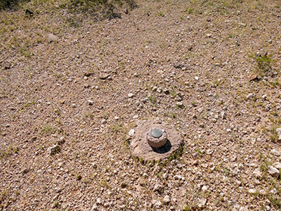
| Setting | Round Concrete Monument |
| Monumented | Unknown by U.S. Bureau of Public Roads |
Narrative and photographs
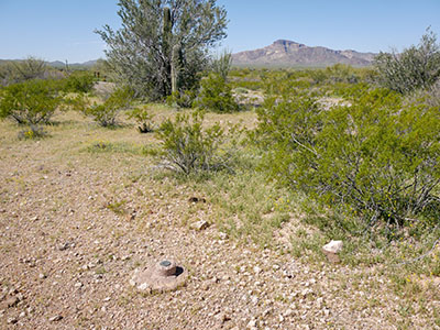
Rich and I were searching for some benchmarks along crazy Route 85 this morning, on our way to Organ Pipe National Monument. We decided to pass on the first mark on our list because there was no safe place to park. But we found a nice pulloff near the coordinates for the second mark on our list. While I was walking toward the coordinates, Rich called out that he had found it. But he hadn’t—he had actually found a different mark! This one was set by the Bureau of Public Roads. Unfortunately there is no date stamped on the mark, and I wasn’t able to locate a description for it among any of my resources. The disk is in good condition, and the monument seems to be in fairly good condition as well, although somewhat eroded.


