30 ETL
Spatial/elevation data
| Coordinates | N 41.681889° W 75.553209° (estimate) |
| Elevation | 1221.357 ft. |
| Location | Pennsylvania
Susquehanna County Clifford Quad |
Mark description
| Type | Bench Mark Disk |
| Setting | Boulder |
| Monumented | 1942 by USGS |
| Description (USGS) | Elkdale; 2.1 mi N. of Dundaff general store, along macadam rd,; 100 ft NE. of intersection of NS.-EW. crossroads; 42 ft S. of S. end of porch of house owned by Mrs. J. A. McAlla; in yard; in boulder; flush with ground; standard tablet stamped “30 ETL 1942” Reference mark; 110 ft SE. of tablet; 110 ft E. of crossroads; on NW. abutment of hwy. bridge; chiseled square (1226.93 ft) |
Narrative and photographs
This mark was another one that we labeled as “probably still there, among the high grass”! The grass in the yard is high and messy, and it was hard to tell if anyone even lives there anymore. The boulder is flush with the ground, according to the description, so it was no surprise that we couldn’t spot it from the edge of the yard. We’ll try again in winter or if the grass is cut at some point.
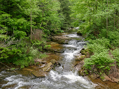
We went a bit further to turn around, and we came across a pretty spectacular waterfall along Tinker Creek!

