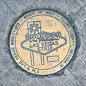
27.1Y RESET
Spatial/elevation data
| Coordinates | N 36.123252° W 115.171101° |
| Elevation | Unknown |
| Location | Nevada
Clark County Las Vegas SW Quad |
Mark description
| Type | Right of Way Disk |
| Setting | Concrete Sidewalk |
| Monumented | 2019 by Clark County Surveyor's Office |
Narrative and photographs
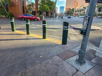
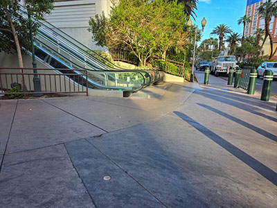
This disk is set in the sidewalk along the west side of Las Vegas Boulevard, just south of Mystère Dreams Avenue. It is just a few yards east of the base of an escalator leading to a footbridge that passes over the Boulevard. The disk is in very good condition.


