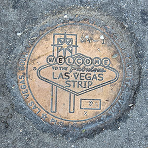
25X
Spatial/elevation data
| Coordinates | N 36.105119° W 115.172605° |
| Elevation | Unknown |
| Location | Nevada
Clark County Las Vegas SW Quad |
Mark description
| Type | Right of Way Disk |
| Setting | Concrete Sidewalk |
| Monumented | 2018 by Clark County Surveyor's Office |
Narrative and photographs
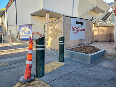
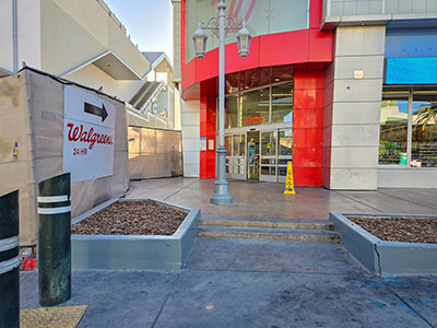
This marker is set into the sidewalk just west of a set of two steps leading to the northwest entrance of Walgreens. The disk looks a bit “messy” with some paving or adhesive compound covering the edges, but it is in good condition and the stamping is clearly legible (with the exception of the land surveyor’s ID, which is obscured but can be read with a bit of effort).


