2496
Spatial/elevation data
| Coordinates | N 44.57119° W 68.788699° |
| Elevation | Unknown |
| Location | Maine
Hancock County Bucksport Quad |
Mark description
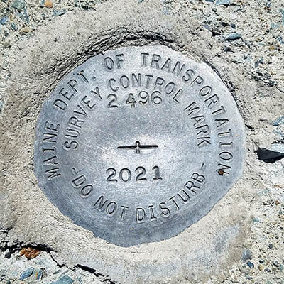
| Type | Survey Control Mark |
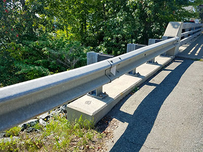
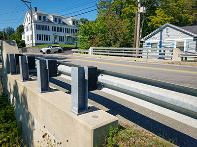
| Setting | Bridge Curb |
| Monumented | 2021 by MaineDOT |
| Description (MaineDOT) | Unavailable. |
Narrative and photographs
Just as we were leaving Bucksport this morning, I spotted a disk on a bridge bannister. Rich pulled down into another small parking lot along the waterfront trail and waited while I photographed the disk, which was a MaineDOT mark from 2021. I haven’t yet been able to find any more information about this disk.


