21Y RESET
Spatial/elevation data
| Coordinates | N 36.121551° W 115.172078° |
| Elevation | Unknown |
| Location | Nevada
Clark County Las Vegas SW Quad |
Mark description
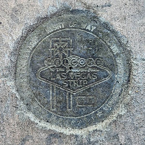
| Type | Right of Way Disk |
| Setting | Concrete Sidewalk |
| Monumented | 2015? by Clark County Surveyor's Office |
Narrative and photographs
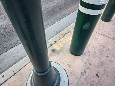
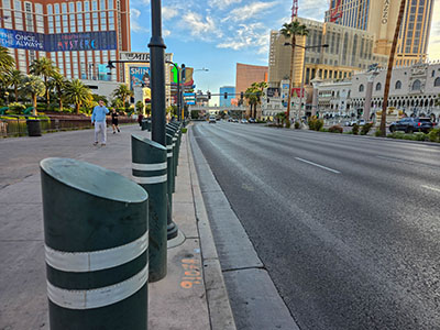
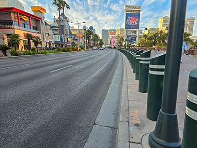
I’m calling this one poor because the designation and date cannot be read. I think it is 21Y RESET as described on Waymarking.com. It is set in the outer edge of the sidewalk on the west side of Las Vegas Boulevard. “91078” is painted on the sidewalk next to it. I’ve seen similar markings near other disks in this area, but I don’t know what they refer to. They don’t seem to correspond to the PLS (local surveyor) numbers on the disks.


