195.10
Spatial/elevation data
| Coordinates | N 44.38042° W 68.22272° |
| Elevation | 195.10 ft. |
| Location | Maine
Hancock County Bar Harbor Quad |
Mark description
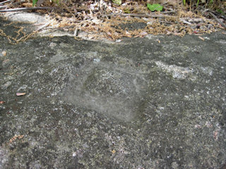
| Type | Chiseled Square |
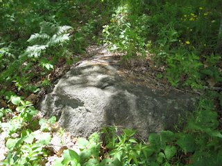
| Setting | Boulder |
| Monumented | 1934 by USGS |
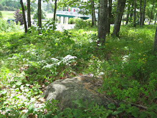
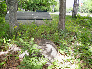
| Description (USGS) | U.E., Bar Harbor Post Office, 1.1 mi W. of, along Eagle Lake Road, near Kebo Valley Golf Links Club House; 40 ft SE. of Eagle Lake Road; 40 ft NE. of T-rd., on rock; chiseled square |
Narrative and photographs
It’s exciting to have the USGS datasheets, because now we know about even more benchmarks on MDI! This one is only a U.E., but it’s in an interesting location in the woods at Kebo Valley Golf Course. It’s a chiseled square, so we knew it could be a challenge to find, but it could also be a lot of fun. Turns out it was a surprisingly easy find on a large boulder. Unlike many other such chiseled squares, the surface of the boulder was clear of moss and forest debris so the carving really stood out.


