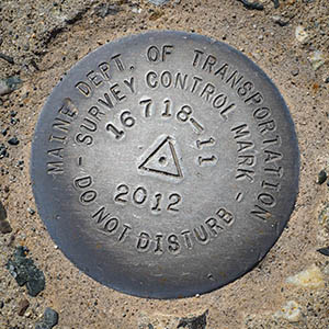
16718-11
Spatial/elevation data
| Coordinates | N 44.295917° W 68.238861° |
| Elevation | Unknown |
| Location | Maine
Hancock County Seal Harbor Quad |
Mark description
| Type | Survey Control Mark |
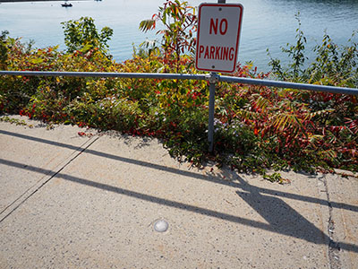
| Setting | Concrete Sidewalk |
| Monumented | 2012 by MaineDOT |
| Description (MaineDOT) | To reach from the junction of Steamboat Wharf Rd and Rte 3, ABOUT 200’ South of junction on Steamboat Wharf Rd. The station is a disk stamped—16718-11 2012—set in concrete sidewalk. IT IS: 13.0’ W of CL; 35.2’ NNW of man hole cover. BK#381 |
Narrative and photographs
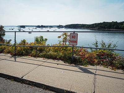
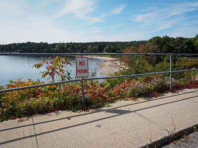
We’ve found this mark in the past, but I thought it would be a good idea to check on it while we were in the area, particularly because there has been some recent construction nearby. (Although once on site, it was clear that the construction didn’t affect this particular stretch of road, and was restricted to the nearby Seal Harbor Beach, which took two strong hits from winter storms last year.) I took my photos to document the mark while Rich parked in front of the No Parking sign.
