152 HLZ
Spatial/elevation data
| Coordinates | N 41.32834° W 76.30217° (estimate) |
| Elevation | 2264.339 ft. |
| Location | Pennsylvania
Luzerne County Red Rock Quad |
Mark description
| Type | Bench Mark Disk |
| Setting | Boulder |
| Monumented | 1968 by USGS |
| Description (USGS) | Ricketts Glen State Park, 0.4 mi S. of park entrance, along State Highway 487; 0.1 mi S. of Sullivan-Luzerne County line; 26 ft E. of, and about 7.0 ft higher than centerline of rd. opposite; in top of large boulder; standard tablet stamped “152 HLZ 1968” |
Narrative and photographs
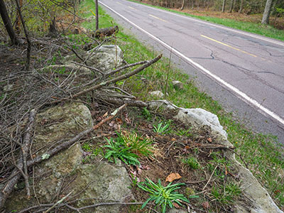
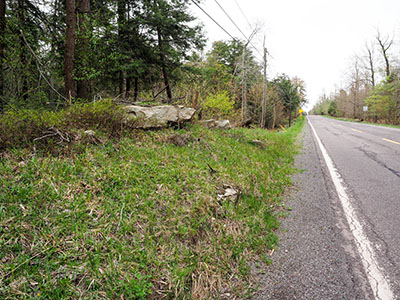
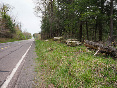
This was yet another mark that I had high hopes for, based on the fact that the large boulder is clearly visible on Google Street View—but my hopes were dashed immediately upon climbing on top of the boulder. All of the boulders and ledges here are covered with at least an inch of soil, forest debris, and actively growing plants. There would be no way, with limited time and no tools, that I could expect to spot the disk. I wouldn’t mind trying again, realizing that my best chance would be with a metal detector.


