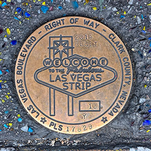
13Y RESET
Spatial/elevation data
| Coordinates | N 36.119893° W 115.17263° |
| Elevation | Unknown |
| Location | Nevada
Clark County Las Vegas SW Quad |
Mark description
| Type | Right of Way Disk |
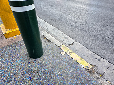
| Setting | Concrete Sidewalk |
| Monumented | 2019 by Clark County Surveyor's Office |
Narrative and photographs
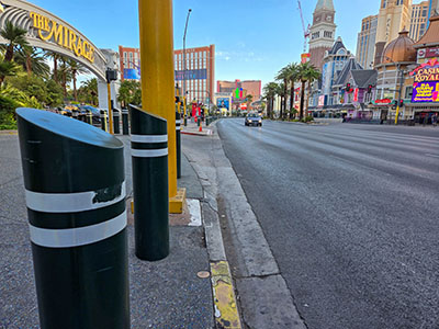
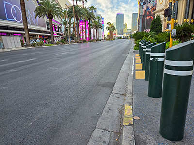
This disk is set in the extreme outer edge of the sidewalk on the western side of Las Vegas Boulevard, just south of South Siegfried and Roy Drive, which leads into the Mirage. The sidewalk surrounding the marker is flecked with tiny colorful stones, which makes the closeup view of the marker unusually “glitzy”. (Update: the Mirage closed in July 2027, just months after my visit, and the property is expected to reopen as Hard Rock Las Vegas in 2027.)


