1353.170
Spatial/elevation data
| Coordinates | N 41.54332° W 75.27213° |
| Elevation | 1353.170 ft. |
| Location | Pennsylvania
Wayne County Honesdale Quad |
Mark description
| Type | Bench Mark Disk |
| Setting | Rock Outcrop |
| Monumented | 1932 by USGS |
| Description (USGS) | Hoadleys, 3.0 mi NE. of, along State Highway 90; 2.3 mi SW. of intersection of hwy. and Main Street in Honesdale; about 0.4 mi S. of S. end of Cadjaw Pond; 20 ft W. of center of rd.; in large rock outcrop; standard tablet not stamped |
Narrative and photographs
Foiled again by P.I.! Searching for USGS disks is always an adventure, and we had enough energy left for one more adventure after our day in Honesdale. This one sounded a lot easier than it turned out to be.
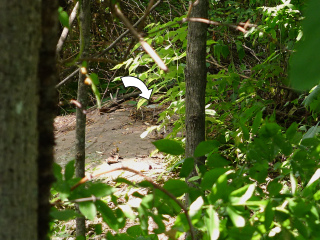
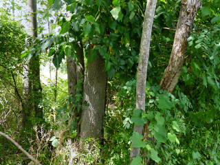
While we’re reasonably certain we have found this bench mark, I can’t say for sure. We saw what appeared to be a disk set into a large outcrop, but we could only view it from a distance of several yards due to massive poison ivy vines covering the outcrop and every possible route we could use to approach it. I know Wayne County is the P.I. capital of Pennsylvania but seriously, I’ve never seen it with leaves so huge!
According to the description the bench mark disk 1353.170 isn’t stamped, so there is really no designation to confirm even if we did view the disk close up. Still, I would want to confirm that it is in fact a USGS disk before claiming to have found it.
The outcrop is in a small patch of woods along Wanoka Road (S.R. 3031) south of Honesdale. The outcrop is approximately 20 ft. west of the road and approximately 130 north of a residence.


