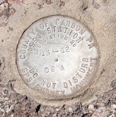
13-12 06A
Spatial/elevation data
| Coordinates | N 40.87363° W 75.69922° |
| Elevation | Unknown |
| Location | Pennsylvania
Carbon County Lehighton Quad |
Mark description
| Type | GPS Survey Monument |
| Setting | Boulder |
| Monumented | 1991 by County of Carbon |
Narrative and photographs
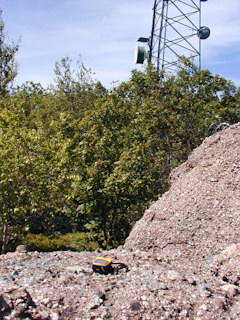
Rich and I took a detour before one of our late-summer mountain biking trips to look for KV3845, triangulation station THORPE. The summit of Bear Mountain also has a fire lookout tower (KV3846), which is still in use, and a modern communications tower. Rich found this mark while climbing around on the enormous boulders in the area.

