00-63-2006-2
Spatial/elevation data
| Coordinates | N 41.525503° W 75.204975° |
| Elevation | Unknown |
| Location | Pennsylvania
Wayne County White Mills Quad |
Mark description
| Type | Survey Control Mark |
| Setting | Bridge Abutment |
| Monumented | 2000? by PennDOT |
| Description (PennDOT) | Unavailable |
Narrative and photographs
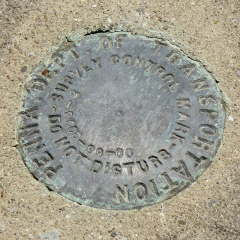
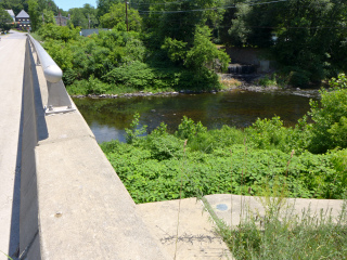
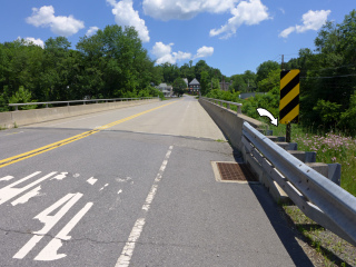
We went looking for 220 LRP, a USGS disk that we expected to find on the northwest abutment of this bridge over the Lackawaxen. We didn’t find that mark—either the abutment has been repaired or rebuilt, or the bridge has been replaced. But we did find this PennDOT disk set into the opposite wingwall. From the stamping, we assume it was set in 2000. It is in good condition.


