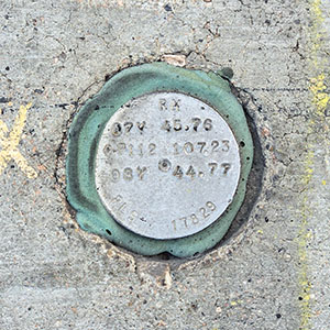
RM 07Y 45.76 CP 112 107.23 08Y 44.77
Spatial/elevation data
| Coordinates | N 36.116946° W 115.1731° |
| Elevation | Unknown |
| Location | Nevada
Clark County Las Vegas SW Quad |
Mark description
| Type | Reference Mark Disk |
| Setting | Concrete Sidewalk |
| Monumented | Unknown by Clark County Surveyor's Office |
Narrative and photographs
For more information about this reference mark, see its parent mark 008Y.
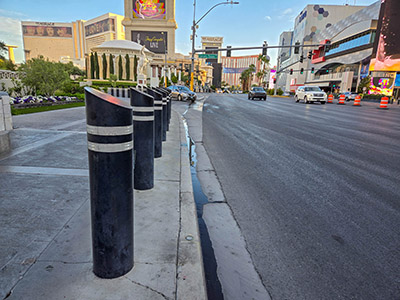
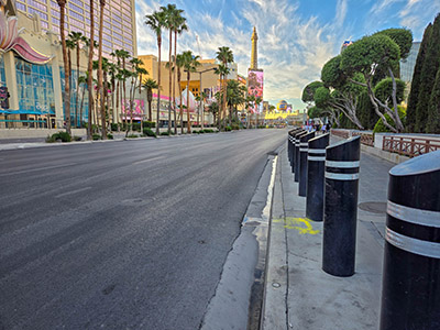
According to the stamping on this disk, it appears to be a reference mark for three different right-of-way disks nearby: 007Y, CP 112, and 008Y. Of these, I found both CP 112 and 008Y. It is set, like many of the marks on the west side of Las Vegas Boulevard, in the outer curb of the sidewalk very close to the road. It is located in front of the Caesar’s Palace complex and is in good condition. Although this RM is associated with several different marks, I chose to list it here with 008Y.


