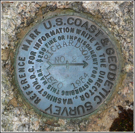
RICHARDSON RM 2
Recovered in Good Condition on June 26, 2006
Spatial/elevation data
| Coordinates | N 44.3582° W 68.302033° |
| Elevation | Unknown |
| Location | Maine
Hancock County Southwest Harbor Quad |
Mark description
| Type | Reference Mark Disk |
| Setting | Rock Outcrop |
| Monumented | 1934 by NGS |
Narrative and photographs
For more information about this reference mark, see its parent mark RICHARDSON.


