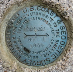
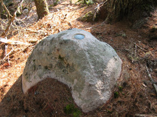
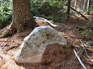
PARKER 1870 RM 1
Coordinates: | N 44.353567° W 68.326583° |
Location: | Maine
Hancock County Southwest Harbor Quad |
Elevation: | Unknown |
Type: | Reference Mark Disk |
Setting: | Boulder |
Year Established: | 1934 |
Established By: | NGS |
Status: | Recovered |
Condition: | Good as of September 8, 2007 |
For more information, see: PARKER 1870
A report on the condition of this survey mark has been submitted to NGS, along with the following recovery note:
The station and both reference marks were recovered in good condition. The reference marks are situated as described in the 1944 recovery note.
To reach the station from the junction of route 198 and route 102 in Somesville, follow route 102 south for 1.3 miles. Turn left onto Parker Farm Road and travel east for 0.36 miles to a fork. Bear right and travel 0.11 miles to another fork. Park and walk 0.14 miles east-northeast through open woods to the station. The knoll is now wooded and the blazed tree is not evident.
Autonomous (non-corrected) handheld GPS coordinates for RM 1 are 44 21 12.8(N) 068 19 35.7(W). Autonomous (non-corrected) handheld GPS coordinates for RM 2 are 44 21 13.2(N) 068 19 36.0(W).