CLIFF ET AZ MK
Spatial/elevation data
| Coordinates | N 41.442083° W 75.9963° |
| Elevation | 1530 ft. |
| Location | Pennsylvania
Wyoming County Center Moreland Quad |
Mark description
| Type | Landmark/Intersection Station |
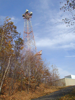
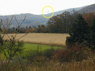
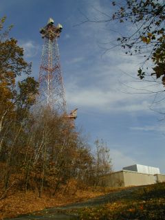
| Setting | Microwave Tower |
| Monumented | by AT&T |
Narrative and photographs
For more information about this reference mark, see its parent mark CLIFF ET.


