CS PEIRCE AZ MK
Spatial/elevation data
| Coordinates | N 41.3399° W 74.767316° |
| Elevation | 482 ft. |
| Location | Pennsylvania
Pike County Milford Quad |
Mark description
| Type | Azimuth Mark Disk |
| Setting | Round Concrete Monument |
| Monumented | 1979 by NGS |
| Description (NGS) | NGS Datasheet |
NGS recovery information
Descriptive text
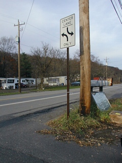
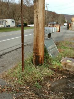
The correct powerline pole was located, but the mark could not be found. It may have been paved over. No witness post exists at this location.Narrative and photographs
For more information about this reference mark, see its parent mark CS PEIRCE.
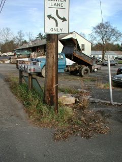
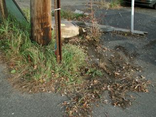
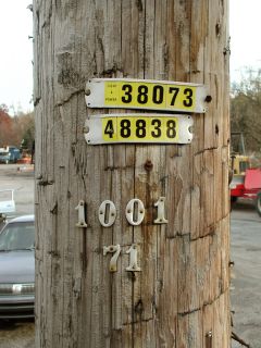
Following our recovery of the CS PEIRCE triangulation station (LY2641) and reference mark #1, and an unsuccessful search for reference mark #2, Rich and I headed across the highway to look for the azimuth mark. We found the correct powerpole, but no mark was found near its base. We concluded that if the mark is still in place, it has been paved over and is therefore not easily accessible.
Mark not found.
This azimuth mark for triangulation station CS PEIRCE was searched for and not found. The historical description leads to the appropriate powerpole, the directions and distances from the station to the azimuth mark seem to fit, but the entire area around the suspected location appears to have been paved over since the time the mark was monumented. It’s possible the mark is still there but under a layer of asphalt. The witness post was not found either. For further information and photos of the site see LY2641. ~Rich in NEPA~

