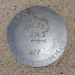
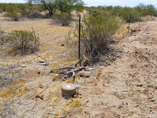
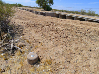
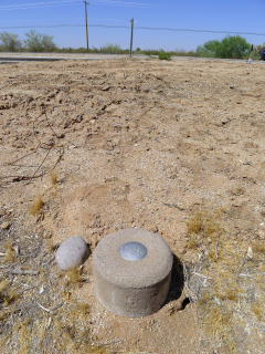
CACTUS RM 1
Spatial/elevation data
| Coordinates | N 32.956083° W 111.330883° |
| Elevation | Unknown |
| Location | Arizona
Pinal County Cactus Forest Quad |
Mark description
| Type | Reference Mark Disk |
| Setting | Round Concrete Monument |
| Monumented | 1977 by AZDOT |
Narrative and photographs
For more information about this reference mark, see its parent mark CACTUS.


