DUCK 2 RM 1
Recovered in Good Condition on February 18, 2016
Spatial/elevation data
| Coordinates | N 24.68264° W 81.22854° |
| Elevation | 3.68 ft. |
| Location | Florida
Monroe County Sevenmile Bridge Quad |
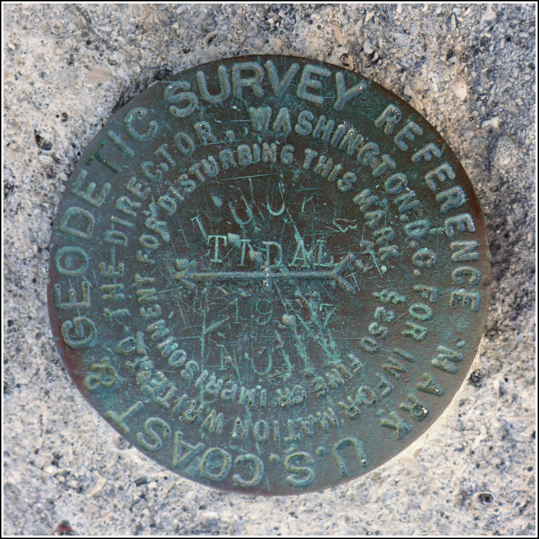
Mark description
| Type | Reference Mark Disk |
| Setting | Bridge Wingwall |
| Monumented | 1937 by NGS |
| Description (NGS) | NGS Datasheet |
NGS recovery information
Descriptive text
Recovered in good condition on the north wingwall at the west end of the old seven mile bridge. This section of the former bridge is now a fishing pier and part of a recreational trail. The current Seven Mile Bridge is directly south of the old bridge.Narrative and photographs
For more information about this reference mark, see its parent mark DUCK 2.

